Create Your First Project
Start adding your projects to your portfolio. Click on "Manage Projects" to get started
Kouklia 9.5KM Circular
Project type
Hiking
Date
25th September 2024
Location
Kouklia, Cyprus
Start Location
Dirt Car Park
https://maps.app.goo.gl/qnZ7FGS8qNrHS6sK8
Route Map
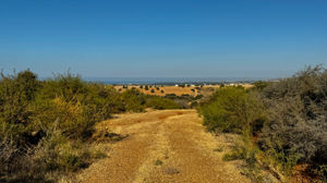
The route started with a gentle up hill section on road till we turned right down through the houses and we joined a track to our right. The track was wide and good underfoot for a few kilometres, at the first two intersections we keep left, at the third we went right and down hill. (if we had gone left by mistake, that track would intersect at the excavation site with the track we joined later)
The surface got uneven, loose and rocky when it started to go down hill at the third intersection. We could see a wind farm on the hill slightly to our left.
After dropping down the route took us to the left of the valley and back up some short hills, till it eventually dropped down and joined a track that crossed in front of us. We joined this track by turning right and headed down hill. The route then took us up hill via a goat track and through a gap in the gorse bushes. (I cut these back when I walked this route)
After approximately 100m the route opened up into a wide track and headed steadily up hill, eventually coming to a 'T' Junction with another wide track where we went left.
The route from there was on wide tracks and roads with some hills. The elevation went from 68M to 210m in approximately 3KM.


